apollo介绍之map模块(二)
本章主要介绍下apollo代码的map模块,map的代码目录结构如下
├── data // 生成好的地图│ └── demo├── hdmap // 高精度地图│ ├── adapter // 从xml文件读取地图(opendrive保存格式为xml)│ │ └── xml_parser│ └── test-data├── pnc_map // 给规划控制模块用的地图│ └── testdata├── proto // 地图各元素的消息格式(人行横道,车道线等)├── relative_map // 相对地图│ ├── common│ ├── conf│ ├── dag│ ├── launch│ ├── proto│ ├── testdata│ │ └── multi_lane_map│ └── tools├── testdata // 测试数据?│ └── navigation_dummy└── tools // 工具
apollo的高精度地图采用了opendrive格式,opendrive是一个统一的地图标准,这样保证了地图的通用性。其中map模块主要提供的功能是读取高精度地图,并且转换成apollo程序中的Map对象。直白一点就是说把xml格式的opendrive高精度地图,读取为程序能够识别的格式。
map模块没有实现的功能是高精度地图的制作,简略的制图过程可以[参考](王方浩:高精度地图制作)。
由于opendrive格式是一个标准,可以它的参考官方网站。下面主要介绍下apollo是如何读取xml地图,并且使用的。
地图的读取在adapter中,其中xml_parser目录提供解析xml的能力。而http://opendrive_adapter.cc则实现了地图的加载,转换为程序中的Map对象。然后地图在http://hdmap_impl.cc中提供一系列api接口给其他模块使用。
下面先介绍下地图消息格式,主要在proto目录
map.proto 分为地图头部信息和结构体,头部信息主要介绍了地图的基本信息“版本,时间,投影方法,地图大小,厂家等”。结构体主要是道路的不同组成部分,包括“人行横道,路口区域,车道,停车观察,信号灯,让路标志,重叠区域,禁止停车,减速带,道路,停车区域,路边的小路,或者行人走的路”。
首先是地图的基本信息
message Header {optional bytes version = 1; //地图版本optional bytes date = 2; //地图时间optional Projection projection = 3; //投影方法optional bytes district = 4; //区optional bytes generation = 5; //optional bytes rev_major = 6; //optional bytes rev_minor = 7; //optional double left = 8; //左optional double top = 9; //上optional double right = 10; //右optional double bottom = 11; //底optional bytes vendor = 12; //供应商}
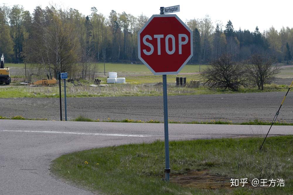
下面是地图的道路信息,其中有2个标志(StopSign,YieldSign)是美国才有的,后来查看了下知乎发现对应到国内是(停,让),具体的含义都是一样,停车的意思是到路口先停止,看下有没有车,然后再开始启动,让车就是先让行,比如交汇路口,理应让直行的车辆先通过,然后再汇入道路。[参考](国内为什么不能采用美国的stop sign制度在很多路口设置呢?)
下面在介绍下overlap,overlap在注释里的解释是“任何一对在地图上重合的东西,包括(车道,路口,人行横道)”,比如路口的人行横道和道路是重叠的,还有一些交通标志和道路也是重叠的,这是创造的一个逻辑概念。(不知道这样理解是否正确)
message Map {optional Header header = 1; //上面所说的地图基本信息repeated Crosswalk crosswalk = 2; //人行横道repeated Junction junction = 3; //交叉路口repeated Lane lane = 4; //车道repeated StopSign stop_sign = 5; //停车标志repeated Signal signal = 6; //信号灯repeated YieldSign yield = 7; //让车标志repeated Overlap overlap = 8; //重叠区域repeated ClearArea clear_area = 9; //禁止停车区域repeated SpeedBump speed_bump = 10; //减速带repeated Road road = 11; //道路repeated ParkingSpace parking_space = 12; //停车区域repeated Sidewalk sidewalk = 13; //路边的小路,或者行人走的路,现在的版本已经去掉?但是其他模块有些还有sidewalk}
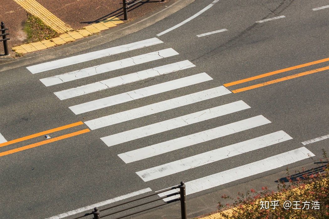
map_crosswalk.proto 人行横道(google图片搜索出了彩虹人行横道和三维人行横道,就问深度学习该怎么办?)
message Crosswalk {optional Id id = 1; //编号optional Polygon polygon = 2; //多边形repeated Id overlap_id = 3; //重叠ID}
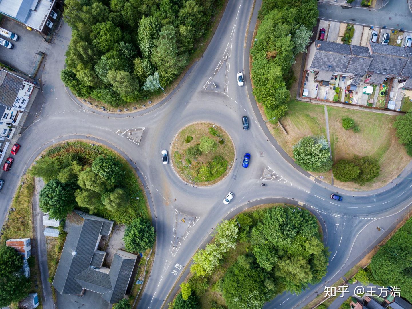
map_junction.proto 路口,道路汇聚点
message Junction {optional Id id = 1; //编号optional Polygon polygon = 2; //多边形repeated Id overlap_id = 3; //重叠id}
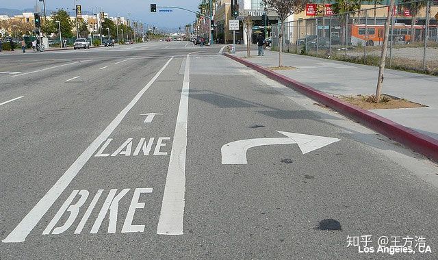
map.lane.proto 车道线,介绍的比较复杂
// A lane is part of a roadway, that is designated for use by a single line of vehicles.// Most public roads (include highways) have more than two lanes.message Lane {optional Id id = 1; //编号// Central lane as reference trajectory, not necessary to be the geometry central.optional Curve central_curve = 2; //中心曲线// Lane boundary curve.optional LaneBoundary left_boundary = 3; //左边界optional LaneBoundary right_boundary = 4; //右边界// in meters.optional double length = 5; //长度// Speed limit of the lane, in meters per second.optional double speed_limit = 6; //速度限制repeated Id overlap_id = 7; //重叠区域id// All lanes can be driving into (or from).repeated Id predecessor_id = 8; //前任idrepeated Id successor_id = 9; //继任者id// Neighbor lanes on the same direction.repeated Id left_neighbor_forward_lane_id = 10; //左边相邻前方车道idrepeated Id right_neighbor_forward_lane_id = 11; //右边相邻前方车道idenum LaneType { //车道类型NONE = 1; //无CITY_DRIVING = 2; //城市道路BIKING = 3; //自行车SIDEWALK = 4; //人行道PARKING = 5; //停车};optional LaneType type = 12; //车道类型enum LaneTurn {NO_TURN = 1; //直行LEFT_TURN = 2; //左转弯RIGHT_TURN = 3; //右转弯U_TURN = 4; //掉头};optional LaneTurn turn = 13; //转弯类型repeated Id left_neighbor_reverse_lane_id = 14; //左边相邻反方向车道idrepeated Id right_neighbor_reverse_lane_id = 15; //右边相邻反方向车道idoptional Id junction_id = 16;// Association between central point to closest boundary.repeated LaneSampleAssociation left_sample = 17; //中心点与最近左边界之间的关联repeated LaneSampleAssociation right_sample = 18; //中心点与最近右边界之间的关联enum LaneDirection {FORWARD = 1; //前BACKWARD = 2; //后,潮汐车道借用的情况?BIDIRECTION = 3; //双向}optional LaneDirection direction = 19; //车道方向// Association between central point to closest road boundary.repeated LaneSampleAssociation left_road_sample = 20; //中心点与最近左路边界之间的关联repeated LaneSampleAssociation right_road_sample = 21; //中心点与最近右路边界之间的关联}
map_stop_sign.proto 停止信号
message StopSign {optional Id id = 1; //编号repeated Curve stop_line = 2; //停止线,Curve曲线应该是基础类型repeated Id overlap_id = 3; //重叠idenum StopType {UNKNOWN = 0; //未知ONE_WAY = 1; //只有一车道可以停TWO_WAY = 2;THREE_WAY = 3;FOUR_WAY = 4;ALL_WAY = 5;};optional StopType type = 4;}
map_signal.proto 交通信号标志
message Subsignal {enum Type {UNKNOWN = 1; //未知CIRCLE = 2; //圈???ARROW_LEFT = 3; //左边ARROW_FORWARD = 4; //前面ARROW_RIGHT = 5; //右边ARROW_LEFT_AND_FORWARD = 6; //左前ARROW_RIGHT_AND_FORWARD = 7; //右前ARROW_U_TURN = 8; //掉头};optional Id id = 1;optional Type type = 2;// Location of the center of the bulb. now no data support.optional apollo.common.PointENU location = 3; //也是基础类型?}message Signal {enum Type {UNKNOWN = 1;MIX_2_HORIZONTAL = 2;MIX_2_VERTICAL = 3;MIX_3_HORIZONTAL = 4;MIX_3_VERTICAL = 5;SINGLE = 6;};optional Id id = 1;optional Polygon boundary = 2; //多边形repeated Subsignal subsignal = 3; //子信号// TODO: add orientation. now no data support.repeated Id overlap_id = 4; //重叠idoptional Type type = 5; //这里的类型是主要指交通标识的个数及位置??// stop linerepeated Curve stop_line = 6; //在哪里结束?}
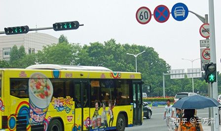
map_yield_sign.proto 让行标志(美国才有)
message YieldSign {optional Id id = 1; //编号repeated Curve stop_line = 2; //在哪里结束repeated Id overlap_id = 3; //重叠id}
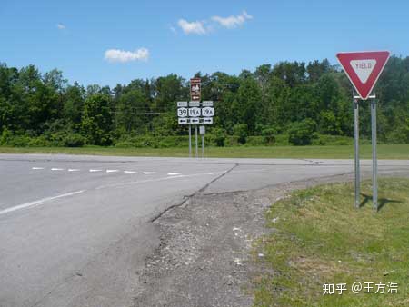
map_overlap.proto 这里只介绍了LaneOverlapInfo,其他的还没有对应的格式
message LaneOverlapInfo {optional double start_s = 1; //position (s-coordinate)optional double end_s = 2; //position (s-coordinate)optional bool is_merge = 3;}// Information about one object in the overlap.message ObjectOverlapInfo {optional Id id = 1;oneof overlap_info {LaneOverlapInfo lane_overlap_info = 3;SignalOverlapInfo signal_overlap_info = 4;StopSignOverlapInfo stop_sign_overlap_info = 5;CrosswalkOverlapInfo crosswalk_overlap_info = 6;JunctionOverlapInfo junction_overlap_info = 7;YieldOverlapInfo yield_sign_overlap_info = 8;ClearAreaOverlapInfo clear_area_overlap_info = 9;SpeedBumpOverlapInfo speed_bump_overlap_info = 10;ParkingSpaceOverlapInfo parking_space_overlap_info = 11;SidewalkOverlapInfo sidewalk_overlap_info = 12;}}// Here, the "overlap" includes any pair of objects on the map// (e.g. lanes, junctions, and crosswalks).message Overlap {optional Id id = 1;// Information about one overlap, include all overlapped objects.repeated ObjectOverlapInfo object = 2;}
逻辑概念,没有具体的规则显示这个区域
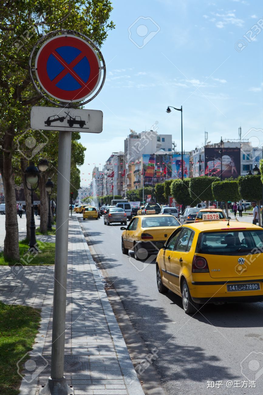
map_clear_area.proto 禁止停车
// A clear area means in which stopping car is prohibitedmessage ClearArea {optional Id id = 1; //编号repeated Id overlap_id = 2; //重叠idoptional Polygon polygon = 3; //多边形}
map_speed_bump.proto 减速带
message SpeedBump {optional Id id = 1; //编号repeated Id overlap_id = 2; //重叠区域repeated Curve position = 3; //曲线位置}

map_road.proto 道路的信息,是由一些RoadSection组成
// road section defines a road cross-section, At least one section must be defined in order to// use a road, If multiple road sections are defined, they must be listed in order along the roadmessage RoadSection {optional Id id = 1;// lanes contained in this sectionrepeated Id lane_id = 2;// boundary of sectionoptional RoadBoundary boundary = 3;}// The road is a collection of traffic elements, such as lanes, road boundary etc.// It provides general information about the road.message Road {optional Id id = 1;repeated RoadSection section = 2;// if lane road not in the junction, junction id is null.optional Id junction_id = 3;}
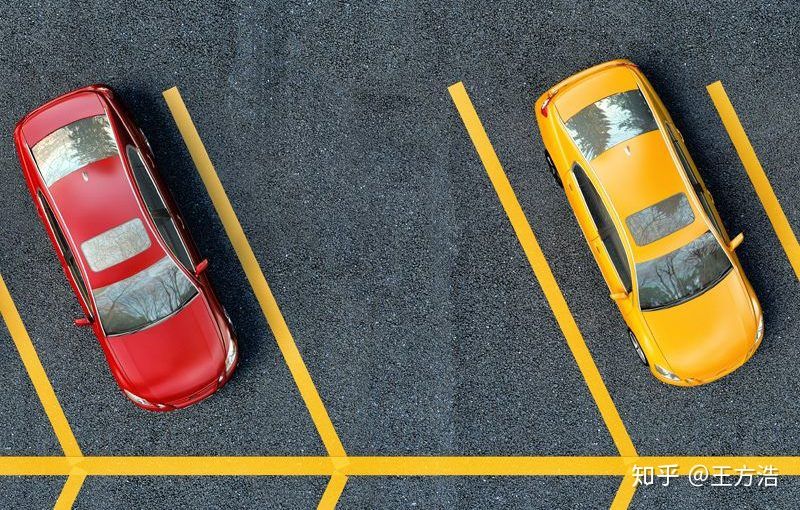
map_parking.proto 停车区域
// ParkingSpace is a place designated to park a car.message ParkingSpace {optional Id id = 1;optional Polygon polygon = 2;repeated Id overlap_id = 3;optional double heading = 4;}
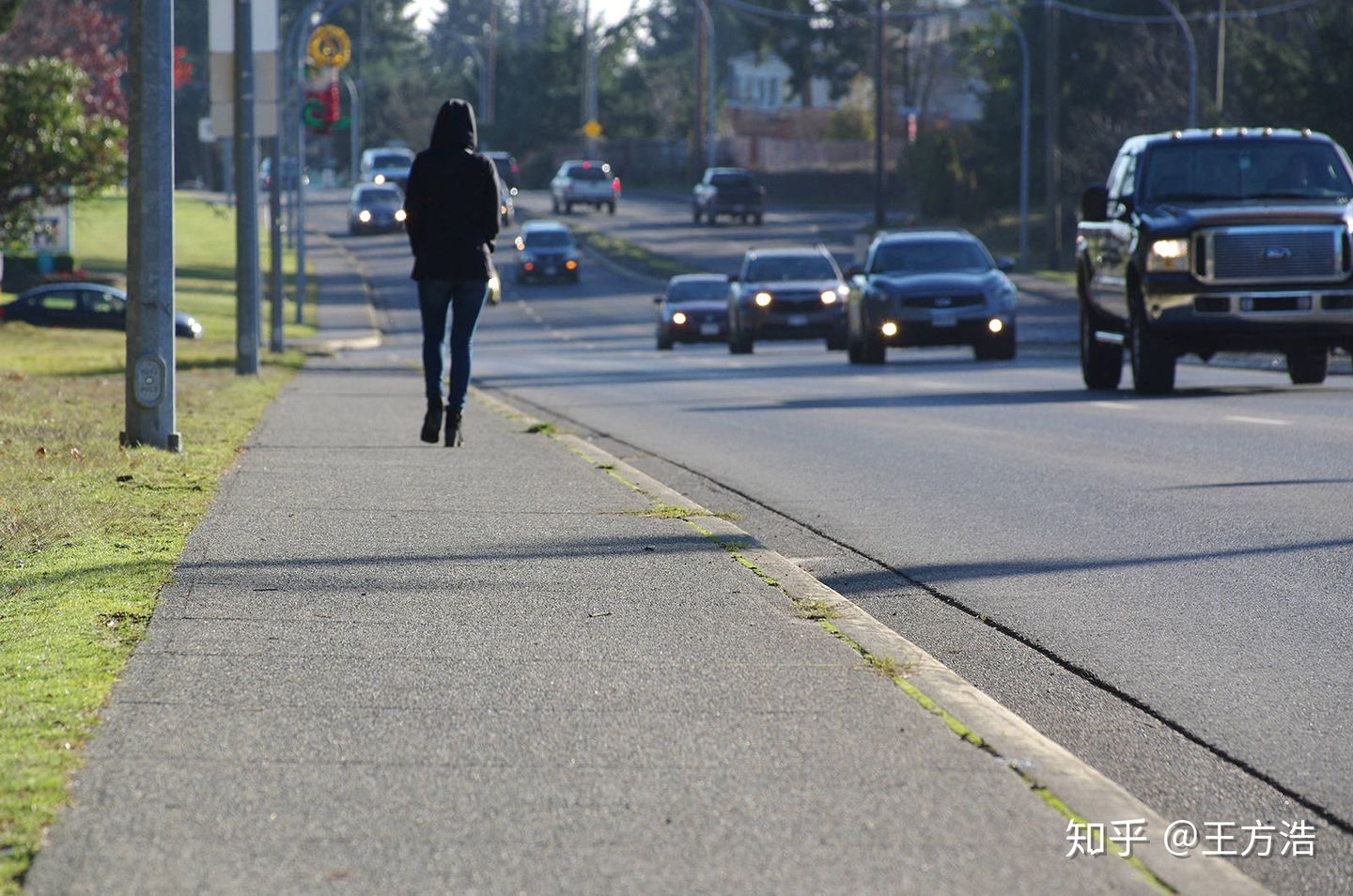
map_sidewalk.proto 路边的小路,或者行人走的路
// A sidewalk (American English) or pavement (British English), also known as a footpath or footway, is a path along the side of a road.message Sidewalk {optional Id id = 1;repeated Id overlap_id = 2;optional Polygon polygon = 3;}
其中还剩下的4个没有介绍
map_id.proto
这里的map_id是基础id?
message Id {optional string id = 1; //id,字符类型}
map_speed_control.proto 限制速度
message SpeedControl {optional string name = 1;optional apollo.hdmap.Polygon polygon = 2;optional double speed_limit = 3;}
map_geometry.proto 地图的几何形状?
// Polygon, not necessary convex.message Polygon {repeated apollo.common.PointENU point = 1;}// Straight line segment.message LineSegment {repeated apollo.common.PointENU point = 1;}// Generalization of a line.message CurveSegment {oneof curve_type {LineSegment line_segment = 1;}optional double s = 6; // start position (s-coordinate)optional apollo.common.PointENU start_position = 7;optional double heading = 8; // start orientationoptional double length = 9;}// An object similar to a line but that need not be straight.message Curve {repeated CurveSegment segment = 1;}
map_pnc_junction.proto PNC路口(具体的场景是什么??)
message PNCJunction {optional Id id = 1;optional Polygon polygon = 2;repeated Id overlap_id = 3;}
上面只是简单的介绍了下地图的数据格式,具体的应用场景,还需要结合planning模块进一步学习。
我们再回过头来看adapter模块,其中xml_parser就是针对道路的不同元素部分做的解析。
├── adapter│ ├── BUILD│ ├── coordinate_convert_tool.cc // 坐标转换工具│ ├── coordinate_convert_tool.h│ ├── opendrive_adapter.cc // 加载opendrive格式地图│ ├── opendrive_adapter.h│ ├── proto_organizer.cc //│ ├── proto_organizer.h│ └── xml_parser // xml_parser针对道路的不同元素做相应解析│ ├── common_define.h│ ├── header_xml_parser.cc│ ├── header_xml_parser.h│ ├── junctions_xml_parser.cc│ ├── junctions_xml_parser.h│ ├── lanes_xml_parser.cc│ ├── lanes_xml_parser.h│ ├── objects_xml_parser.cc│ ├── objects_xml_parser.h│ ├── roads_xml_parser.cc│ ├── roads_xml_parser.h│ ├── signals_xml_parser.cc│ ├── signals_xml_parser.h│ ├── status.h│ ├── util_xml_parser.cc│ └── util_xml_parser.h
最后在看下hdmap_impl,主要实现了一系列的api来查找道路中的元素。由于实现的接口太多,后面有时间了看是否能够整理下api文档。
总结
其实我们只需要知道map模块的主要功能是“加载opendrive格式的地图,并且提供一系列的API给其他模块使用”。然后再根据具体的场景来了解地图各个部分的作用,就算是对map模块比较了解了。